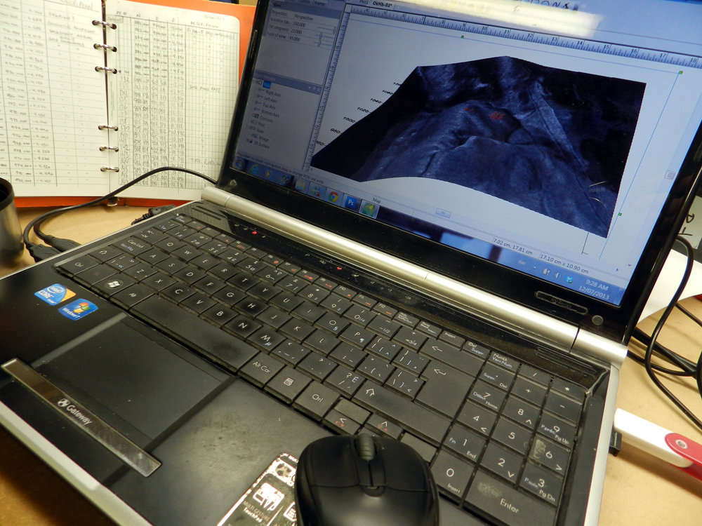
Same general idea - its an air photo draped on a DEM in Surfer. We build the DEM in the field using the total station so that its tied in exactly to our excavation grid. I like to check the data at the end of the day to make sure it all fits and on rain days I take it a little farther and play with overlaying our different excavation maps and air photos.


 PDF
PDF
Is that ArcGIS using a drapped DEM? I use ArcGIS in my job and I've always thought archaeolgy would suit it vey well.
ReplyDeleteSame general idea - its an air photo draped on a DEM in Surfer. We build the DEM in the field using the total station so that its tied in exactly to our excavation grid. I like to check the data at the end of the day to make sure it all fits and on rain days I take it a little farther and play with overlaying our different excavation maps and air photos.
Delete